
The regional natural park of the Verdon – Part II
- The Verdon Gorges, located between the cities of Moustiers-Sainte-Marie and Castellane, create a border between the Alpes-de-Haute Provence and Var departments stretching over a distance of 50 km. The Verdon Gorges are the deepest gorges in Europe (maximum: 700 m deep). The canyon of the Verdon, also called in French “grand canyon du Verdon” is the world’s second largest canyon. It is the most touristic spot of the region, attracting more than one million tourists every year.

- The Low Gorges of the Verdon (in French: Basses Gorges du Verdon) are located between the Sainte-Croix lake and Durance. They are less steep than the Verdon canyon and are made up of artificial lakes (lake of Montpezat, Quinson and Esparron), to supply the region with water, especially for Aix-en-Provence.

Since prehistoric times, man has settled in the caves of the low gorges. The “museum of the prehistory” in Quinson presents the results of the archaeological excavations of the region.
- The Artuby and the “Plan of Canjuers“ are located in the Var department, on the left bank of the Verdon. The Artuby is a tributary river (54 km long) that winds through the hills at over 1000 m altitude going till Mont Lachens. It crosses the Alpes Maritimes and Var departments.

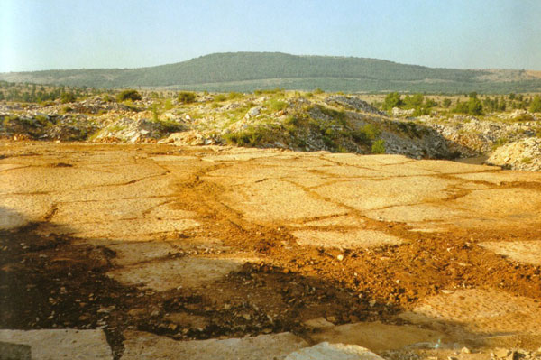
The “Plan of Canjuers” is an arid and desert plateau, located between the Sainte-Croix lake, the Verdon gorges and the Artuby. Today, it is part of the military camp of Canjuers and is therefore prohibited.
The above areas are not heavily populated. Even the biggest boroughs have under 3000 inhabitants (Valensole: 2600 inhabitants, Gréoux-les-Bains: 2 455, Aups: 1903, Castellane: 1500…)
For more information about the Verdon Gorges, click on this link:
http://arras-france.com/more-about-the-verdon-gorges-south-east-france/
No responses yet

